National Treasure

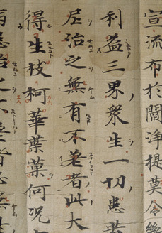
Konkōmyōsaishōō-kyō (Suvarṇaprabhāsottama-rāja-sūtra), Vol.1-10 (Kokubunji-kyō)
金光明最勝王経 巻第一~十(国分寺経)
Calligraphy & Books · Nara, 8th centuryNara NM
Home › Browse › Calligraphy & Books › Nara period › Map of the estate of Tōdai-ji temple in Naruto village in Etchū Province
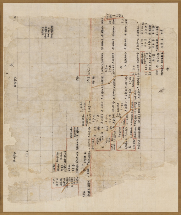
This is a map of newly cultivated fields developed by Tōdaiji Temple in the Imizu District of Etchū Province, the northwestern part of present-day Toyama prefecture. The black lines divide the fields into a checkerboard-like grid, and the place names and acreage are written into the squares representing fields. Streams and ditches are indicated by maroon lines. This map is thought to have been produced in 767 (Jingo-Keiun 1).
— Museum description: Nara National Museum (CC BY 4.0), via ColBase / Japan Search.