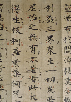
National Treasure

Konkōmyōsaishōō-kyō (Suvarṇaprabhāsottama-rāja-sūtra), Vol.1-10 (Kokubunji-kyō)
金光明最勝王経 巻第一~十(国分寺経)
Calligraphy & Books · Nara, 8th centuryNara NM
Home › Browse › Calligraphy & Books › Nara period › Map of the estate of Tōdai-ji temple in Isawa village in Etchū Province
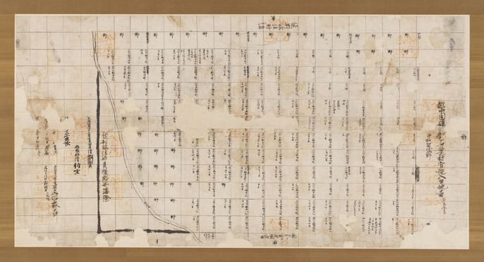
This map depicts the fields developed by Tōdaiji Temple in Etchū Province, the southwest part of present-day Toyama prefecture. A checkerboard-like grid indicates the plots of land; cultivated fields have notations on their acreage written in, and as yet uncultivated land is simply marked as “field.” The vermillion seal of Etchū Province is stamped across the surface. This Map is an official copy. This estate had originally been owned by Tachibana-no-Naramaro, who was executed in July, 757. After Naramaro's death this estate was given to Tōdai-ji temple in December of the same year. The eastern direction is at the top of this map. The seal of Etchū province was stamped over the nineteen important parts of the inscription on the map.
— Museum description: Nara National Museum (CC BY 4.0), via ColBase / Japan Search.